 Most reviewed
Guides
Language
EnglishCurrency
US dollar · $GetYourGuide shows prices in the currency you choose.
Guide · Mamula
Mamula island and its round fortress
On the way to the Blue Cave every boat slows beside a low round fort on a rock at the mouth of the bay. Mamula island has been a guard post, a prison camp and a hotel. Here is its story.
Check availabilityfrom $53 · cancel without a fee
Editorial team, blue-cave-montenegro.comUpdated October 25, 2026about 6 min to read36 sources
Mamula in brief
A round fort guarding the gate of the bay
Ships entering the Bay of Kotor pass between Cape Oštra on the left and the island of Lastavica, better known as Mamula, on the right.6 The fort sits right at the entrance, a ring of stone filling a small rocky island.7 For anyone arriving by sea it was the first thing to see and the first thing that could see them.
The fortress is circular, about 200 m in diameter, and stands 3.4 nautical miles from Herceg Novi.1 The municipality calls it one of the largest and best preserved Austrian fortifications on the Adriatic.1 Its entrance faces north-east, over a drawbridge that once crossed a fairly wide moat; on the other sides the shore drops steep and inaccessible.8
Mamula never stood alone. Three 19th-century Austro-Hungarian fortresses, Arza, Mamula and Prevlaka, guard the point where the bay meets the open sea.9 Arza stands on its cape on Luštica, one nautical mile east of Mamula, and was built around 1850 to strengthen the defence of the bay entrance.10 From the boat you can often pick out both.
Mamula through time
From fort to camp to hotel
-
1850s
The fort is built
General Lazar Mamula builds it at the bay entrance.11
-
March 1942
The camp opens
Italian authorities use it for internment.3
-
14 Sep 1943
The camp closes
After Italy's capitulation.12
-
2015
A 49-year lease
Signed on 23 February with a Swiss developer.5
-
2017
The memorandum
Signed on 10 June, starting the lease.13
-
2023
Hotel opens
Approved to operate on 25 May; 5-star from 15 June.4
The bay behind the fort
To see why anyone would fortify a rock this small, look at what lies behind it. The Bay of Kotor covers 87.3 square kilometres, has 105.7 km of coastline and reaches a depth of 68 m at its deepest.1415 It runs about 24 km into the land, a long sheltered harbour that every power on this coast wanted to hold.16
The outer part, the bay of Herceg Novi, has a steep and rocky northern shore and is 45 m deep at most.17 Deeper inside, the narrows of Verige are only about 350 metres wide, and tradition ties their name to 1624, when North African pirates sailed into the bay and ravaged Perast.1819
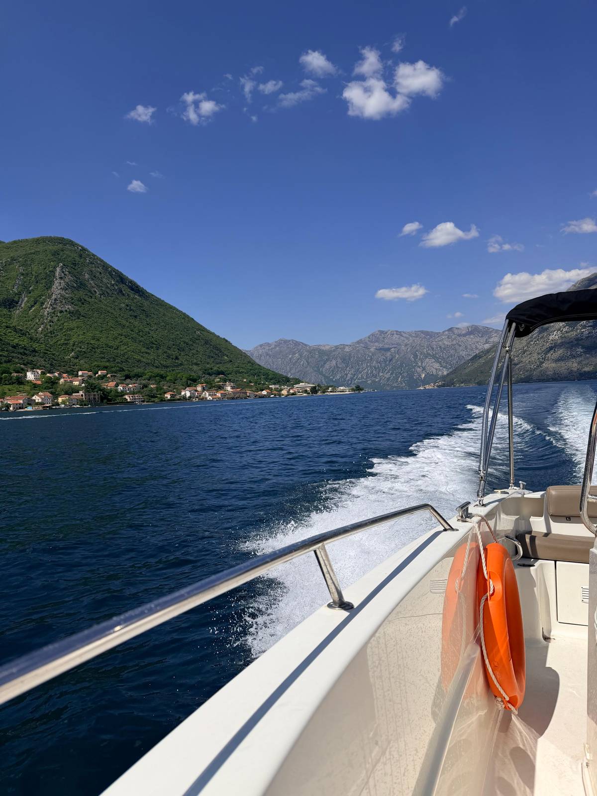
On the boat you notice the change as you pass Mamula. Behind you lies the long, enclosed bay; ahead lies the open Adriatic, and somewhere along the cliffs to the left the mouth of the Blue Cave. It is the moment to hold on, put the phone away and enjoy the last stretch of the ride.
Time beside the fort
How long tours stay at Mamula
min
Boats past Mamula
A quick look or a proper photo stop
Most reviewed Photo stop
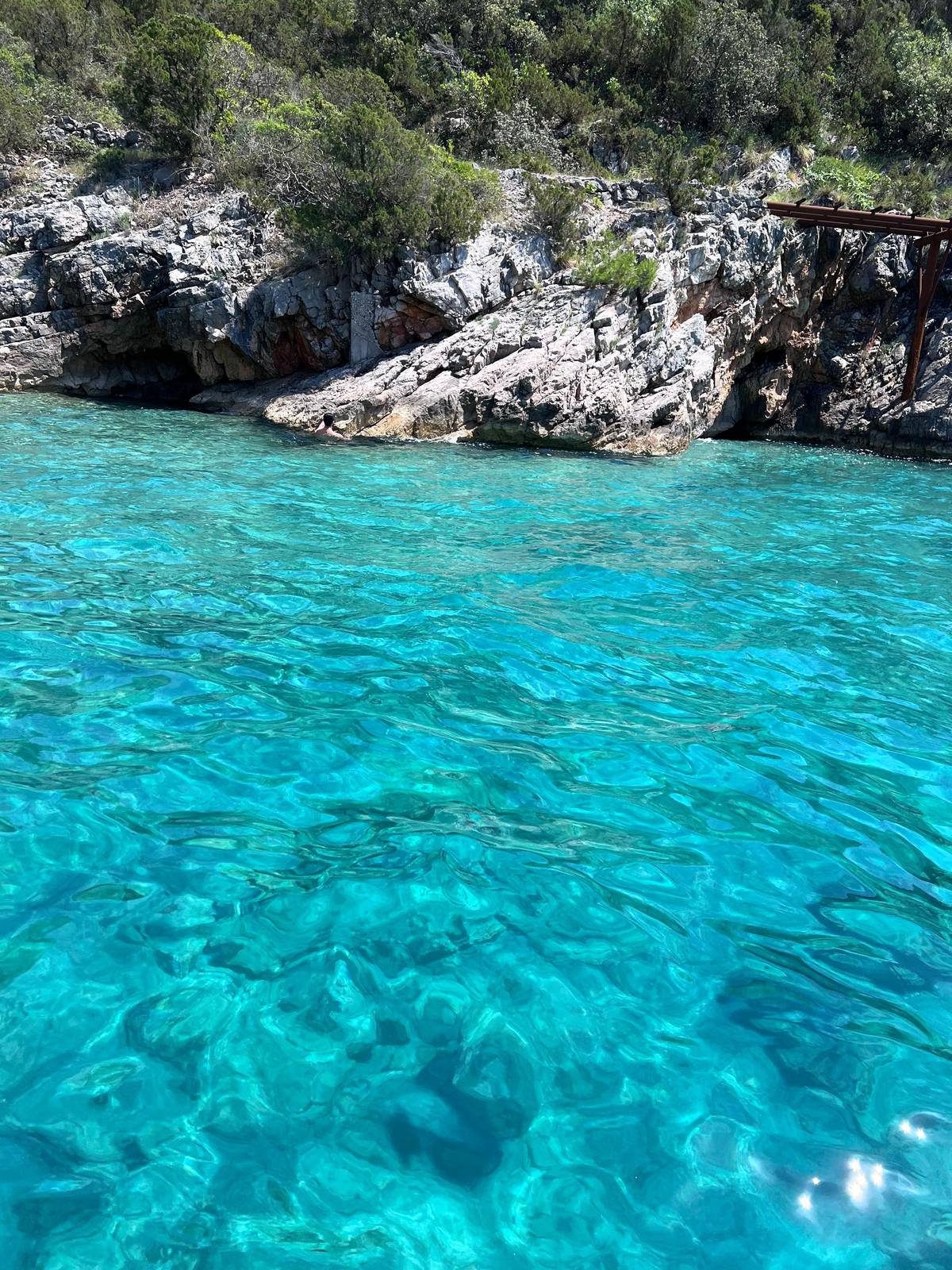 Shortest
Tunnels, Mamula & cave
From Donja Lastva
- Length
- 2 hrs
- At Mamula
- 10 min
- At the cave
- 30 min
- Price
- from $45
Decision helper
How close do you want to get?
Mamula fits several kinds of day
In the period from March 1942 to September 1943, Mamula was used as a collection camp for the internment of patriots, communists and fighters of the people's liberation movement against the Italian authorities, from the Bay of Kotor and the region.
General Mamula and the age of the forts
The fort takes its name from its builder, the Austrian general and governor of Dalmatia Lazar Mamula, who built it in the middle of the 19th century.2 A press item republished by the national tourism organisation calls it one of three defensive fortifications he built in the 1850s.11 No official page we found gives a single exact year, so treat any precise date you read elsewhere with care.
Mamula belongs to a whole family of works from the same period. Arza on Luštica dates from around 1850 too, and Prevlaka completes the trio at the point where the bay meets the open sea.109 Seen together on the map below, the three forts show how carefully the entrance to the bay was watched.
From the deck, look for the thick, low walls, the few openings and the moat on the north-east side by the old drawbridge.8 From a distance the island looks almost flat, and its scale only shows as the boat comes close and the curve of the wall fills your view.
Map
From Kotor to the Blue Cave on Luštica
The mouth of the bay with the cave, Mamula and Žanjic; the inner bay from Kotor past Perast to Tivat; and the coast from Herceg Novi down to Budva.
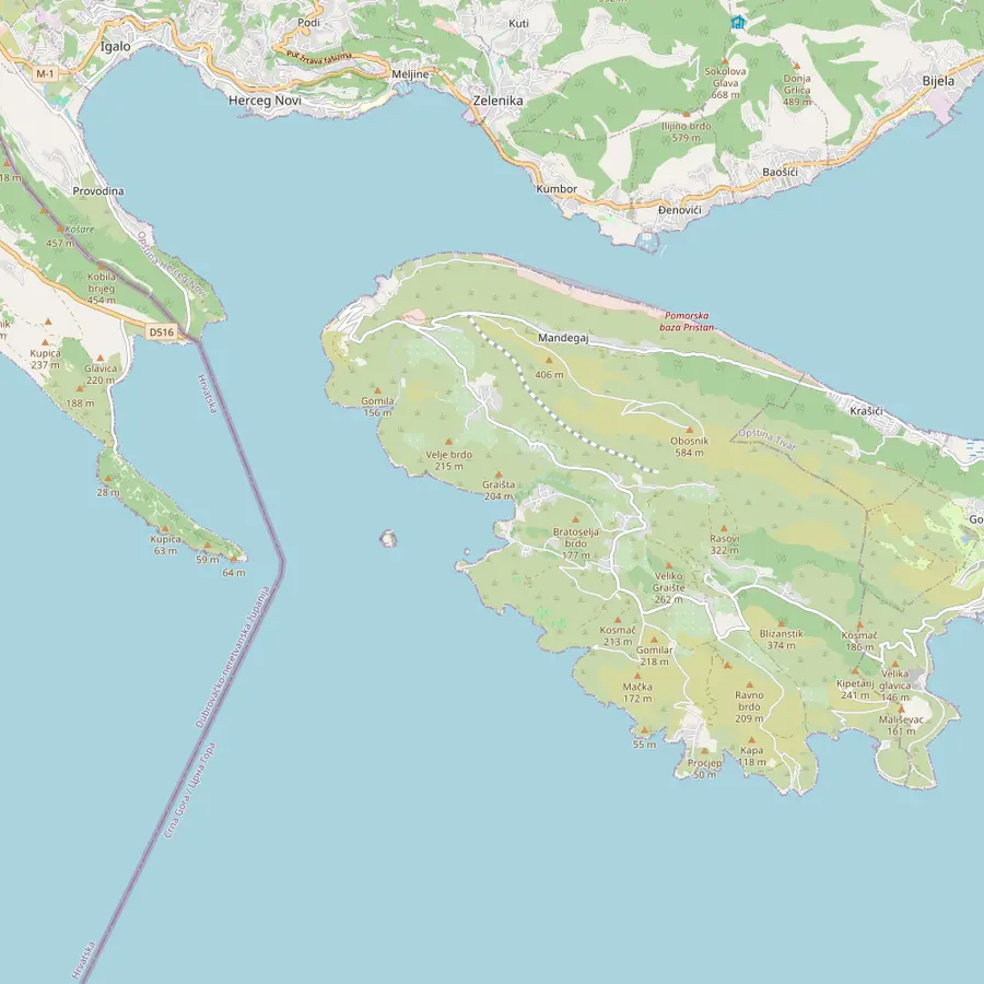 1Blue Cave2Mamula3Žanjic4Arza5Submarine pen6Rose
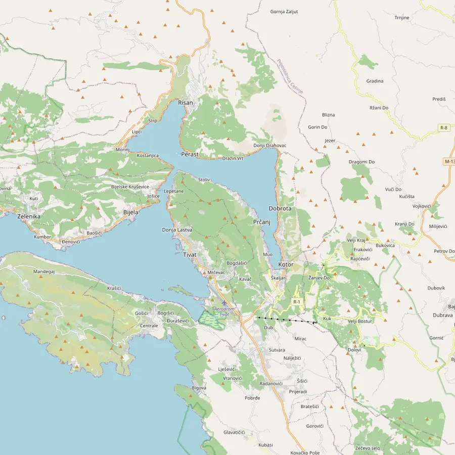 7Kotor8Perast9Our Lady of the Rocks10Lepetane11Donja Lastva12Tivat Airport
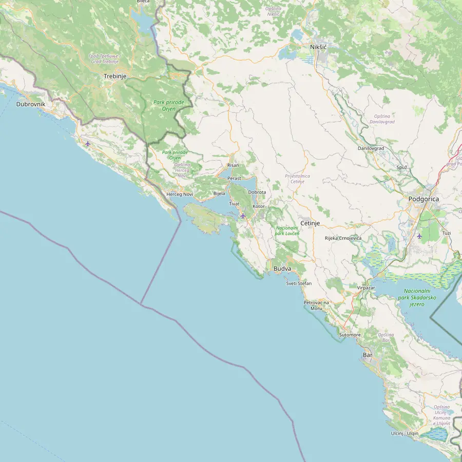 13Herceg Novi1Blue Cave14Tivat7Kotor15Budva
- 1Blue Cave
About 5.6 nautical miles from Herceg Novi, under a cliff about 30 m high.2122
In Google Maps ↗ - 2Mamula
A round fortress about 200 m across, 3.4 nautical miles from Herceg Novi.1
In Google Maps ↗ - 3Žanjic
A white-pebble beach over 300 m long, sheltered by Cape Arza.23
In Google Maps ↗ - 4Arza
An Austro-Hungarian fort from around 1850, one nautical mile east of Mamula.10
In Google Maps ↗ - 5Submarine pen
One of the tunnels the Yugoslav navy cut into the hills of the bay.24
In Google Maps ↗ - 6Rose
A small fishing village 1.7 nautical miles from Herceg Novi.25
In Google Maps ↗ - 7Kotor
The port lies 100 m from the Old Town.26
In Google Maps ↗ - 8Perast
Its golden era ran from 1420 to 1797, under Venice.27
In Google Maps ↗ - 9Our Lady of the Rocks
A man-made islet; its birthday is kept on 22 July 1452.28
In Google Maps ↗ - 10Lepetane
The ferry from Kamenari lands here after crossing the Verige strait.18
In Google Maps ↗ - 11Donja Lastva
Opatovo Pier, the start of a 2-hour Blue Cave run.
In Google Maps ↗ - 12Tivat Airport
12 minutes and 8 km by car from Kotor.29
In Google Maps ↗ - 13Herceg Novi
Its fortress Kanli Kula was built in 1539.30
In Google Maps ↗ - 14Tivat
The airport is 4 km from the town centre.31
In Google Maps ↗ - 15Budva
20 km from Tivat Airport.32
In Google Maps ↗
Checklist
For the pass at Mamula
01
Be ready
- Camera out before the boat slows
- Sunglasses for the glare off the water
- A seat on the side facing the island
02
Remember
- Boats view the fort from the water
- The camp is part of local family history
- Rough seas can change the route
Cost calculator
Mamula and the cave for your group
Starting totals for boats that pass Mamula.
People
Total from$105
each from $53
Check availabilityfree cancellationA total here is the lowest per-person starting price on GetYourGuide times the size of your group, converted with the European Central Bank's daily reference rate; the date and option you pick set the final amount.
Video
Mamula Island from the Water and the Air
The YouTube player stays off until you press play.
The camp of 1942 and 1943
The darkest years came during the Second World War. From March 1942 to September 1943, Mamula was used by the Italian authorities as an internment camp for patriots, communists and partisan fighters from the Bay of Kotor and the region, including Dubrovnik, Korčula, Sarajevo, Mostar and Trebinje.3
After 18 months, with more than 1,500 people having passed through the camp, the last prisoners left in mid-September 1943.20 The camp, Campo Mamula, was closed on 14 September 1943, after Italy's capitulation, and the Municipality of Herceg Novi still marks the anniversary of its dissolution.12
Higher figures appear on some travel websites; this page sticks to the municipality's own count. When your guide tells the story on board, remember that for families around this bay it is not a legend but recent history.
From ruin to a hotel inside the walls
The fortress began a new life with a long-term lease of Lastavica island and Mamula fortress, concluded on 23 February 2015 between the Government of Montenegro and a Swiss developer, for 49 years from the signing of a memorandum on preconditions.5 That memorandum was signed on 10 June 2017, and the leased island has an area of 31,848 square metres.13
The plan was to rebuild the fortress, under conservation conditions, into a 5-star museum-like hotel with 34 rooms, 4 places to eat and drink, a memorial room open to visitors, a dock and a pool.33 The hotel received temporary approval to operate on 25 May 2023 and was categorised as 5-star on 15 June 2023.4 The hotel itself now says it has 32 rooms and suites.34
Hotel guests reach it from Mirišta on Luštica: the hotel says Tivat airport is 22 km away, about 50 minutes by car to the boat pick-up, followed by a 5-minute crossing.35 For everyone else, Mamula is a view from the water on the way to the Blue Cave.
How the boat tours pass Mamula
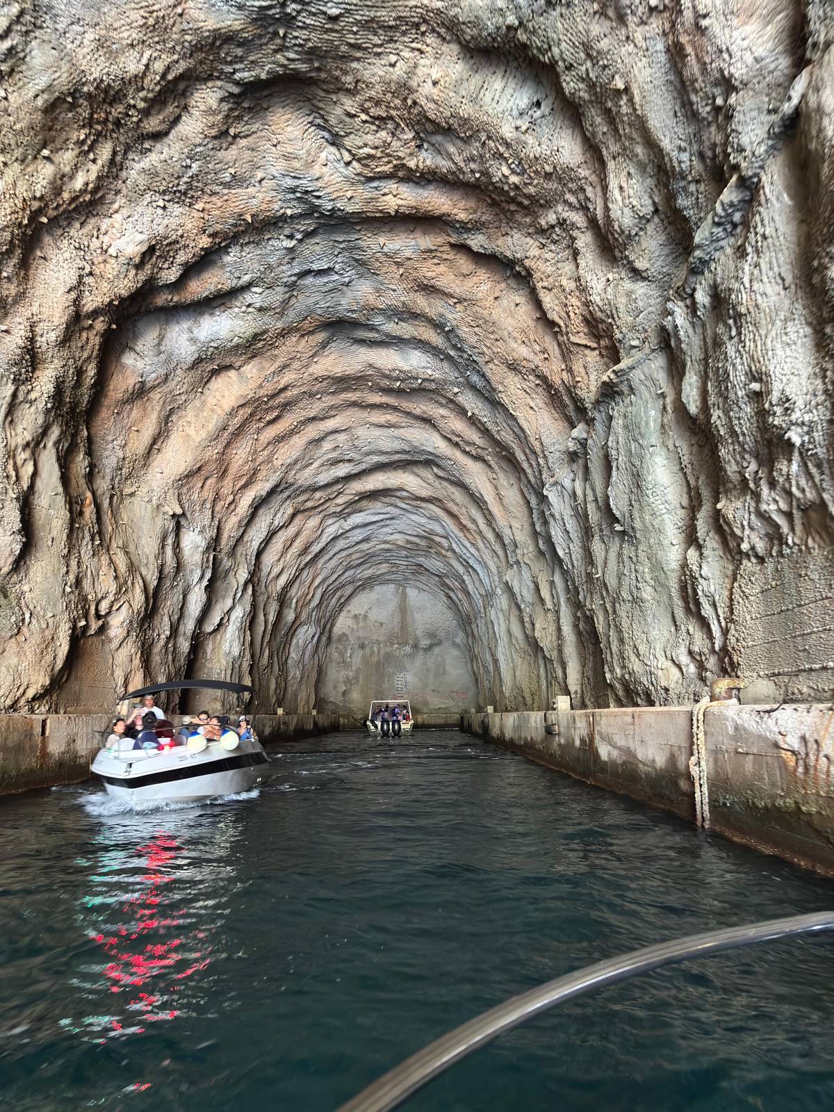
On the booked tour Mamula is a pass-by of about 5 minutes, after the submarine tunnel and before the final 10-minute run to the Blue Cave. The skipper slows down, the guide tells the story, and the boat moves on. Have your camera ready before the boat slows, because it does not wait.
Other boats give it a little more time. A Kotor loop with a longer Perast stop lists Mamula as a 10-minute photo stop. The 2-hour speedboat from Opatovo Pier in Donja Lastva also gives it 10 minutes. A shorter boat from the Saint Roko dock passes it in about 3 minutes on the way out.
None of the listings compared here mentions landing on the island; you see the fortress from the boat. Sit on the side of the boat that faces the island as you approach, and keep shooting as it turns, because the outline changes quickly from round to long.
Mamula from the shore, and on a map
You can also see Mamula without a boat. It sits off the tip of Luštica, close to the beaches of Žanjic and Mirišta; Žanjic lies about 2.7 nautical miles from Herceg Novi, so the fort is a familiar outline for anyone swimming there.23 The cove of Mirište, between Žanjic and Cape Arza, is where the hotel's own boats pick up guests.3635
The map below shows the mouth of the bay: Mamula on its island, Arza on the cape, Žanjic beach and the Blue Cave around the corner on the open sea. It makes clear why every Blue Cave boat that starts inside the bay passes the fort: the cave lies just beyond it.
If you have a spare evening in Herceg Novi, look across the water at sunset. The fortress sits low on the horizon at the mouth of the bay, and knowing what it has been makes the silhouette feel heavier than its size.
Into the blue
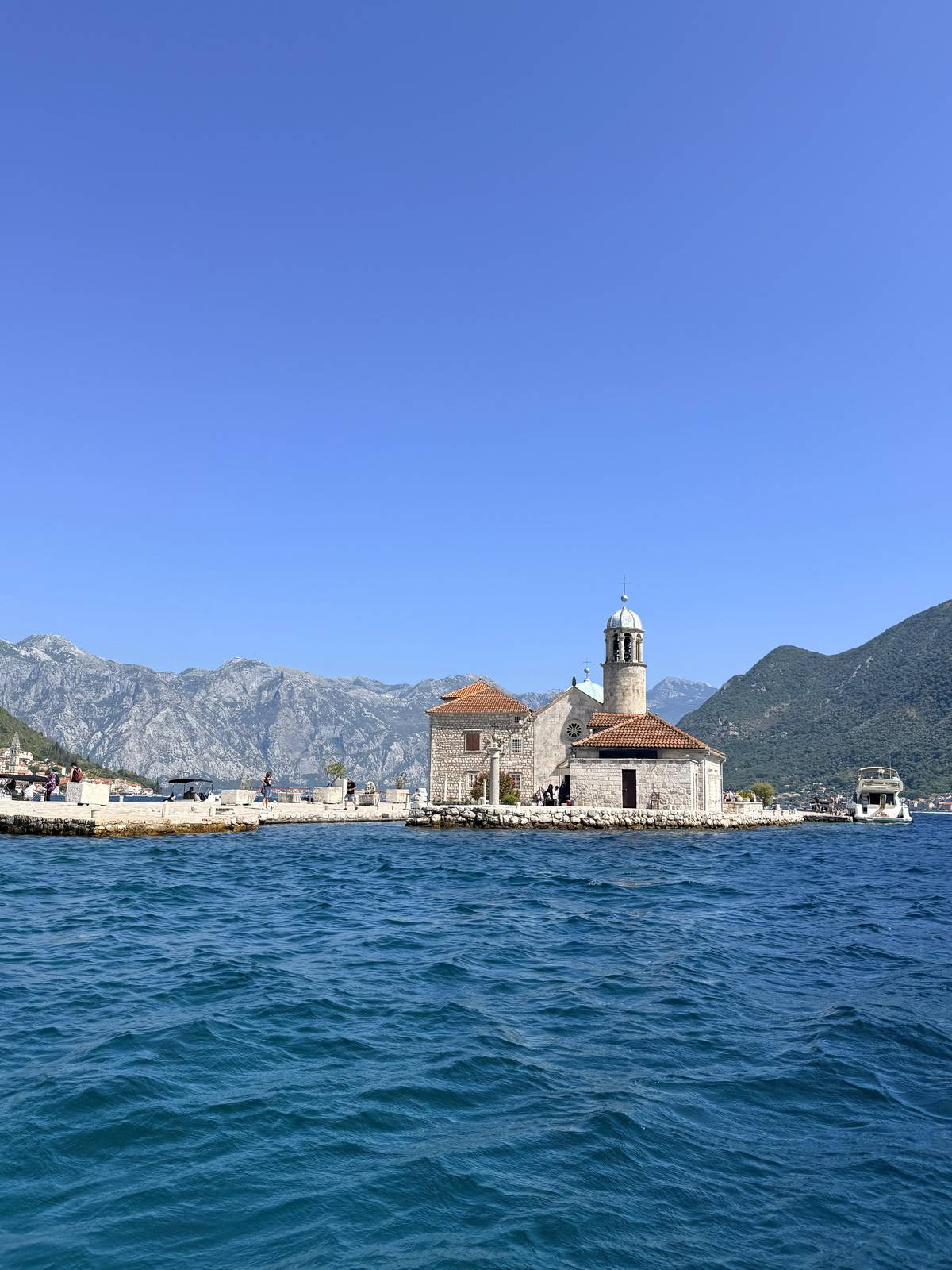
Church, tunnel, fortress, then a swim
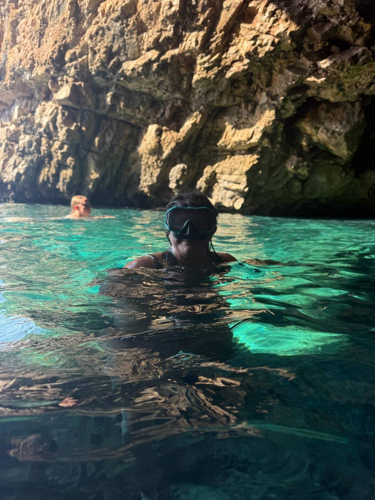
3 hours by speedboat from Kotor, with an optional 30-minute swim at the cave.


You ask,we answer.
Where is Mamula island?
At the entrance to the Bay of Kotor. On Lastavica island, 3.4 nautical miles from Herceg Novi.1
Who built the fortress on Mamula?
The Austrian general Lazar Mamula. He built it in the mid-19th century and it bears his name.2
Was Mamula a concentration camp?
An Italian internment camp. It ran from March 1942 to September 1943.3
How many people were held on Mamula?
More than 1,500. That is the municipality's figure for the 18 months of the camp.20
Is Mamula a hotel now?
Yes, a 5-star hotel. It was categorised 5-star on 15 June 2023.4
Can you visit Mamula on a boat tour?
You see it from the water. The booked tour passes it for about 5 minutes; others stop 10 minutes for photos.
How big is the fortress?
About 200 m across. It is circular, one of the largest Austrian forts on the Adriatic.1
Sources
Where the information comes from
- 1Municipality of Herceg Novi (Opština Herceg Novi)Znamenitosti↩
- 2Municipality of Herceg Novi (Opština Herceg Novi)Znamenitosti↩
- 3Municipality of Herceg Novi (Opština Herceg Novi)Обиљежена 81 година од расформирања логора "Campo Mamula"↩
- 4Montenegrin Investment Agency (mia.gov.me)Long-term Lease Agreement for the Location of Lastavica Island with “Mamula” Fortress - Herceg Novi↩
- 5Montenegrin Investment Agency (mia.gov.me)Long-term Lease Agreement for the Location of Lastavica Island with “Mamula” Fortress - Herceg Novi↩
- 6Municipality of Herceg Novi (Opština Herceg Novi)Novska rivijera i Orjen↩
- 7Hrvatska enciklopedija (Leksikografski zavod Miroslav Krleža)Boka kotorska↩
- 8Municipality of Herceg Novi (Opština Herceg Novi)Znamenitosti↩
- 9National Tourism Organisation of Montenegro (montenegro.travel)Fortresses↩
- 10Municipality of Herceg Novi (Opština Herceg Novi)Znamenitosti↩
- 11National Tourism Organisation of Montenegro (montenegro.travel)Luxury and history collide on the breathtaking Mamula Island↩
- 12Municipality of Herceg Novi (Opština Herceg Novi)Обиљежена 83. годишњица распуштања логора „Campo Mamula“↩
- 13Montenegrin Investment Agency (mia.gov.me)Long-term Lease Agreement for the Location of Lastavica Island with “Mamula” Fortress - Herceg Novi↩
- 14National Tourism Organisation of Montenegro (montenegro.travel)Bay of Kotor↩
- 15National Tourism Organisation of Montenegro (montenegro.travel)Bay of Kotor↩
- 16Hrvatska enciklopedija (Leksikografski zavod Miroslav Krleža)Boka kotorska↩
- 17Hrvatska enciklopedija (Leksikografski zavod Miroslav Krleža)Boka kotorska↩
- 18Municipality of Herceg Novi (Opština Herceg Novi)Novska rivijera i Orjen↩
- 19Municipality of Herceg Novi (Opština Herceg Novi)Novska rivijera i Orjen↩
- 20Municipality of Herceg Novi (Opština Herceg Novi)Обиљежена 81 година од расформирања логора "Campo Mamula"↩
- 21Municipality of Herceg Novi (Opština Herceg Novi)Novska rivijera i Orjen↩
- 22Municipality of Herceg Novi (Opština Herceg Novi)Novska rivijera i Orjen↩
- 23Municipality of Herceg Novi (Opština Herceg Novi)Novska rivijera i Orjen↩
- 24Wikipedia (last resort)Submarine pen↩
- 25Municipality of Herceg Novi (Opština Herceg Novi)Novska rivijera i Orjen↩
- 26Port of Kotor (Luka Kotor A.D.)Position and transport connections↩
- 27MPI Muzeji Kotor (municipal public institution)Perast Museum↩
- 28Kotorska biskupija (Roman Catholic Diocese of Kotor)Gospa od Škrpjela↩
- 29Airports of Montenegro (Aerodromi Crne Gore)Tivat Airport - How to reach us?↩
- 30Herceg Novi Tourist Board (Turistička organizacija Herceg Novi)Kanli kula↩
- 31National Tourism Organisation of MontenegroHow can you journey to us?↩
- 32Turistička organizacija opštine Budva (Budva Tourist Organisation)Kako doći?↩
- 33Montenegrin Investment Agency (mia.gov.me)Long-term Lease Agreement for the Location of Lastavica Island with “Mamula” Fortress - Herceg Novi↩
- 34Mamula Island by Banyan Tree (the hotel's own site)Luxury 5-Star Montenegro Boutique Hotel | Banyan Tree Mamula Island↩
- 35Mamula Island by Banyan Tree (the hotel's own site)Luxury 5-Star Montenegro Boutique Hotel | Banyan Tree Mamula Island↩
- 36Municipality of Herceg Novi (Opština Herceg Novi)Novska rivijera i Orjen↩
Keep reading